
0
Discover: Latitude and Longitude With Layered Maps
Hello,
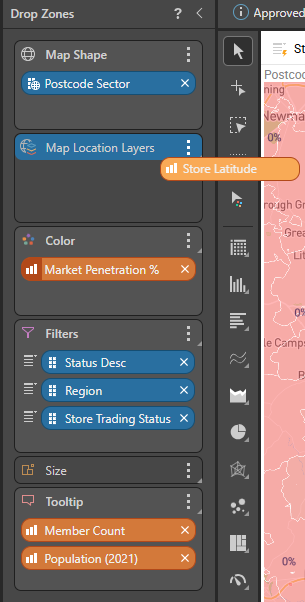
I am currently trying to create some layered maps in Discover that overlay store location bubbles on top of an area map. Unfortunately, it seems like layered maps do not support using latitude and longitude measures to plot data points on the map like bubble map charts do. This then means reliance on Geocoding or predefined address, city, etc. attributes which are less reliable. I'm guessing this is because the layered map is missing the 'Details' drop zone that the other map visualisations have.
Is there any way to get latitude and longitude measures to work with layered maps or does this feature not exist?
Many thanks
2 replies
-
At this time, this feature does not yet exist. It is on the road map however.